3. Historical Context
Historical records reflect homesteads in Kingsgate as early as 1874. The “Remember When” map circa 1900 to 1918 is a historical document about the people and events in the Kingsgate and Juanita areas compiled by R. Nelson. Murdock MacPherson of MacPherson Reality had a vision for a planned community of more than 2,100 lots. He developed the first of the single-family subdivisions that form the core of the Kingsgate neighborhood today. Mr. MacPherson named the Kingsgate subdivision in 1963 after Kingsgate, England. Being of Scottish descent, he added the name Highlands. The Kingsgate Highlands planned community of 957 lots was created between 1965 and 1976. Three school sites and three developed playgrounds were provided in the complex by MacPherson, Continental and Western Erection. MacPherson also had plans for a future shopping center (source: Kirkland Heritage Society). Next came the High Woodlands subdivision between 1966 and 1976, Hazen Hills between 1968 and 1970, Forest Grove in 1971, Breakthrough/Lendemain in 1972, Firloch between 1972 and 1989, and many other subdivisions. Farms, orchards, and pastures were still present in the 1990s.
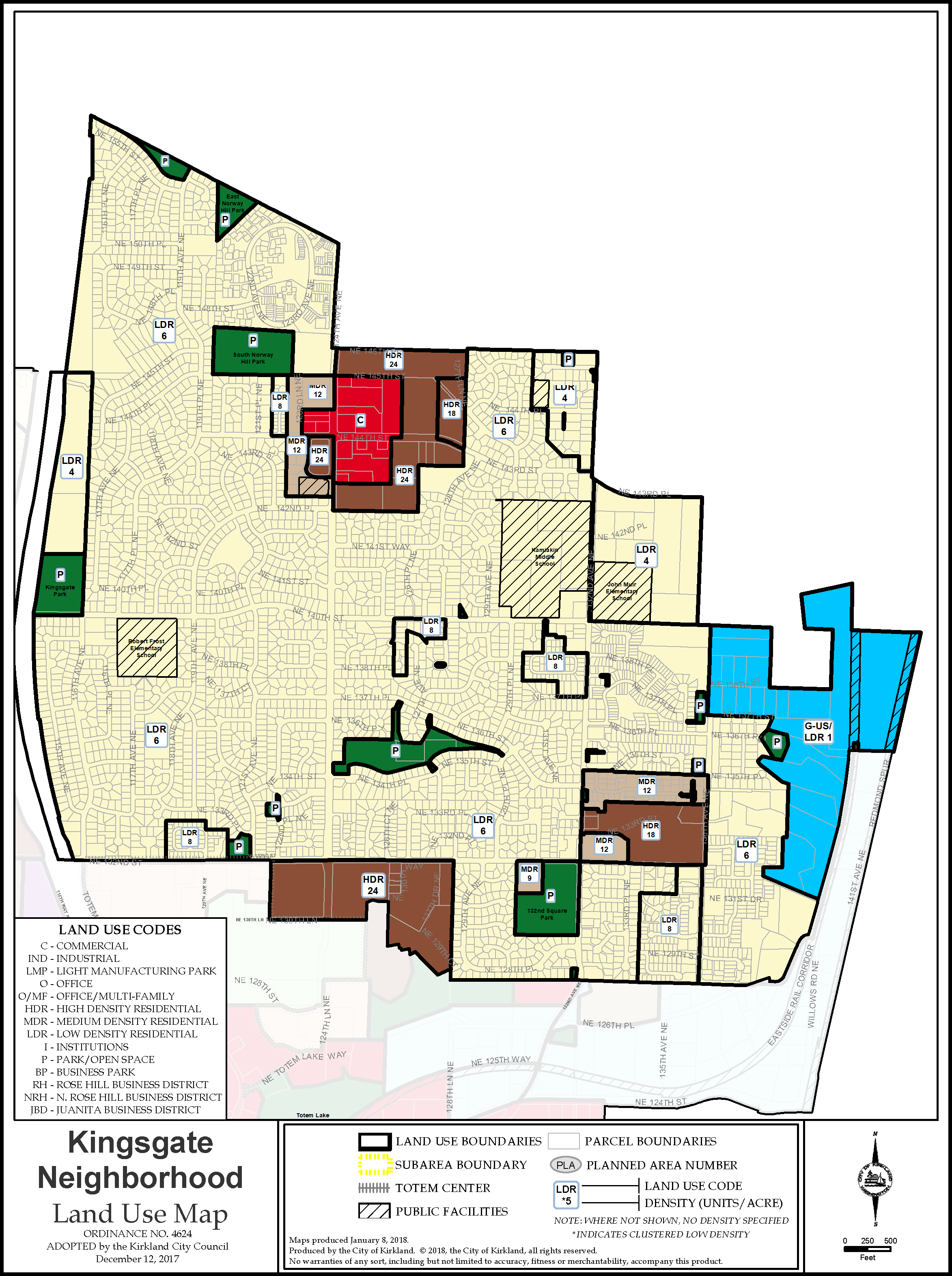
Figure K-1: Kingsgate Land Use Map
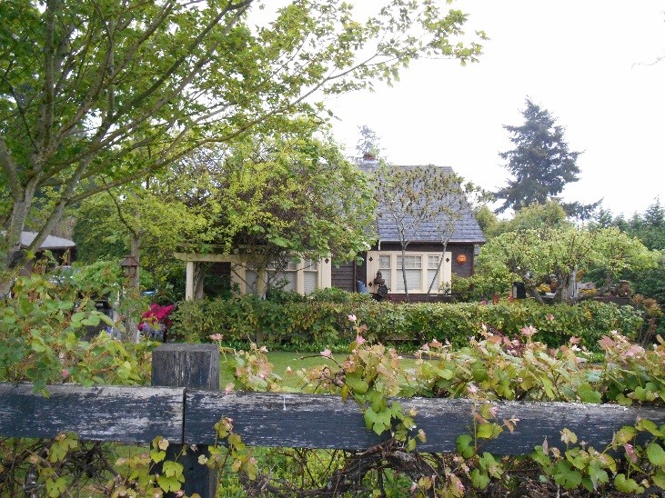
The neighborhood has one historic structure recognized by the Kirkland Heritage Society which is a 1943 farmhouse at 13240 136th Avenue NE. 
1943 Farmhouse, courtesy Kirkland Heritage Society
Kingsgate was part of unincorporated King County until it was annexed into the City in 2011 as part of the Juanita/Kingsgate/Finn Hill annexation. See Figure I-1, City of Kirkland Historical Annexation Areas, in the Introduction chapter of the Comprehensive Plan.


